Upperville sits at about 557 feet on Route 50. The nearest temperature record at that height, the Purcellville co-op station about 14 miles northeast, averages 86.4 degrees on a July afternoon and about 30 days a year at 90 or better. Mount Weather, on the ridge five miles north and 1,100 feet higher, averages 82.4 and logs about a fifth fewer cooling degree days. The village gets the valley’s summer, not the mountain’s.
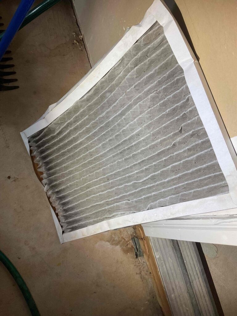
The Census survey of ZIP 20184 found no owner homes on utility gas, only electricity and propane, and electric heat out here usually means a heat pump. So the unit you book in April just worked through a winter of about 115 freezing nights. The visit turns it around to cooling, cleans the coil and the fan, clears the drain line, and writes up what the cold months left behind.
Virginia’s historic resources department describes the village as shaded end to end by masses of trees, and NOAA’s storm records show what that shade does in a summer storm. On August 10, 2021, gusts estimated near 70 miles an hour brought numerous trees and power lines down around Upperville off Route 50 near Trappe Road. Dozens more came down on August 7, 2023, and on May 20, 2026 downed lines and poles shut half a mile of Route 50 just west of the village.
After a storm like that, walk out to the outdoor unit before the cooling goes back on: a limb on top or in the fan, a cabinet shoved off its pad, torn insulation on the copper lines. If the power dropped and came back, listen for a unit that hums but won’t start. Any of that, leave it off and call us after the storm; we’ll check the whole system, and any repair is priced in writing first.