Cedar Run’s floodplain spreads across the farmland around Catlett, and the Weather Service gauges it. At 15 feet water approaches a low spot on Flatwood Lane; at 21 the Route 806 bridge floods and water gets into buildings nearby. It crested at 18.2 feet on July 12, 2013, when flash flooding closed roads in Catlett, and at 15.91 feet on July 17, 2025. In November 2020 high water shut Elk Run Road between Tenerife Road and Sowego Road.
The ground doesn’t help. Catlett sits about 260 feet up in what the County calls a nearly flat basin, on “blackjack” soils its plan blames for decades of failed drainfields. Ground that won’t take a drainfield’s water is often slow with rain too. A sump pump that ran nonstop through the last storm and still lost ground is likely undersized or worn out; replacing it is one flat price on our sump pump page. After any big storm, call and we’ll inspect it all.
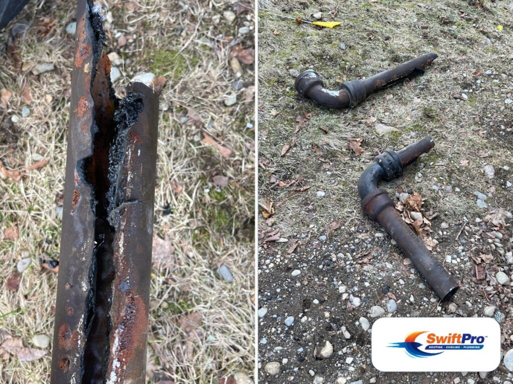
Then the freezes. NOAA’s Warrenton 3 SE co-op, about seven miles west-northwest, averages close to 100 nights a year when the low hits 32 or colder, and about 13 days when the high stays at 32 or under; it dropped to 3 on January 7, 2014. Fauquier County’s code puts the frost line 24 inches down, and pipe buried deeper rides out the cold. What splits is pipe that isn’t buried: a hose bibb, a supply line in an outside wall or a crawlspace, plumbing in an unheated outbuilding.
Much of the village drinks from FCWSA’s small Catlett system; past it, the water comes from a private well. Homes on the County’s sewer drain to a STEP tank out in the yard, while the rest still use septic. Our part is the house: every pipe past the well’s pressure tank, the fixtures, the water heater, the drains, and the building sewer out to the STEP tank, which the owner keeps. The well, its pump, the STEP tank and septic systems go to other trades or the County.